The fourth dimension of mining –
With the aid of data recorded from space, from the surface of the Earth, and from the depths of mines, Tobias Rudolph creates three-dimensional images of geological deposits. Sometimes his jigsaw is transferred into a 4D version – by adding the aspect of time.
Do you like doing jigsaws?
Prof. Dr. Tobias Rudolph: Yes, it's more or less my job. As a geologist specialising in geo-monitoring, I create an overall picture based on a range of individual components. For example, a landscape that has been altered by mining. I collect data in post-mining areas that can be used to develop methods that can be applied, for example, to new mineworks about to opened up. Applying this knowledge from the past and the present can help minimise future interference with natural spaces. And today, mining is kept as far apart from population areas as possible. In the Ruhr Area, we have learned just how laborious it is to make former mineworks safe.
How do you get the data you need?
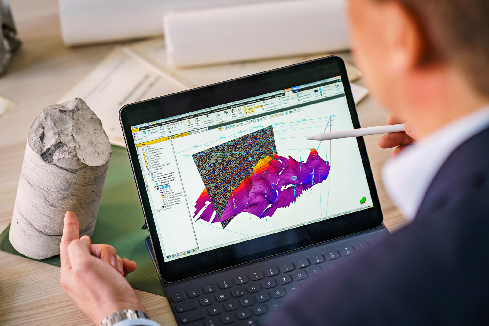
Prof. Dr. Tobias Rudolph: We employ a set of monitoring methods to gain an understanding of how mining impacts on nature in the post-mining phase. We collect our data from below, on and above the Earth's surface. One example: Plants respond sensitively to rapid ground movements, because it means that their roots suddenly become saturated, for example, which can make their leaves turn brown. They can also be transformed by escaping gas. So, observing nature is an important monitoring instrument. And then there's satellite images. We compare the closely linked images, and we can calculate whether or not the ground is sinking, right down to the very millimetre. We then relate these three spatial dimensions to the fourth dimension - time. This enables us to model images of geological deposit formations or landscapes, in order to achieve a better understanding of the movements occurring here.
Why should young people study post-mining?
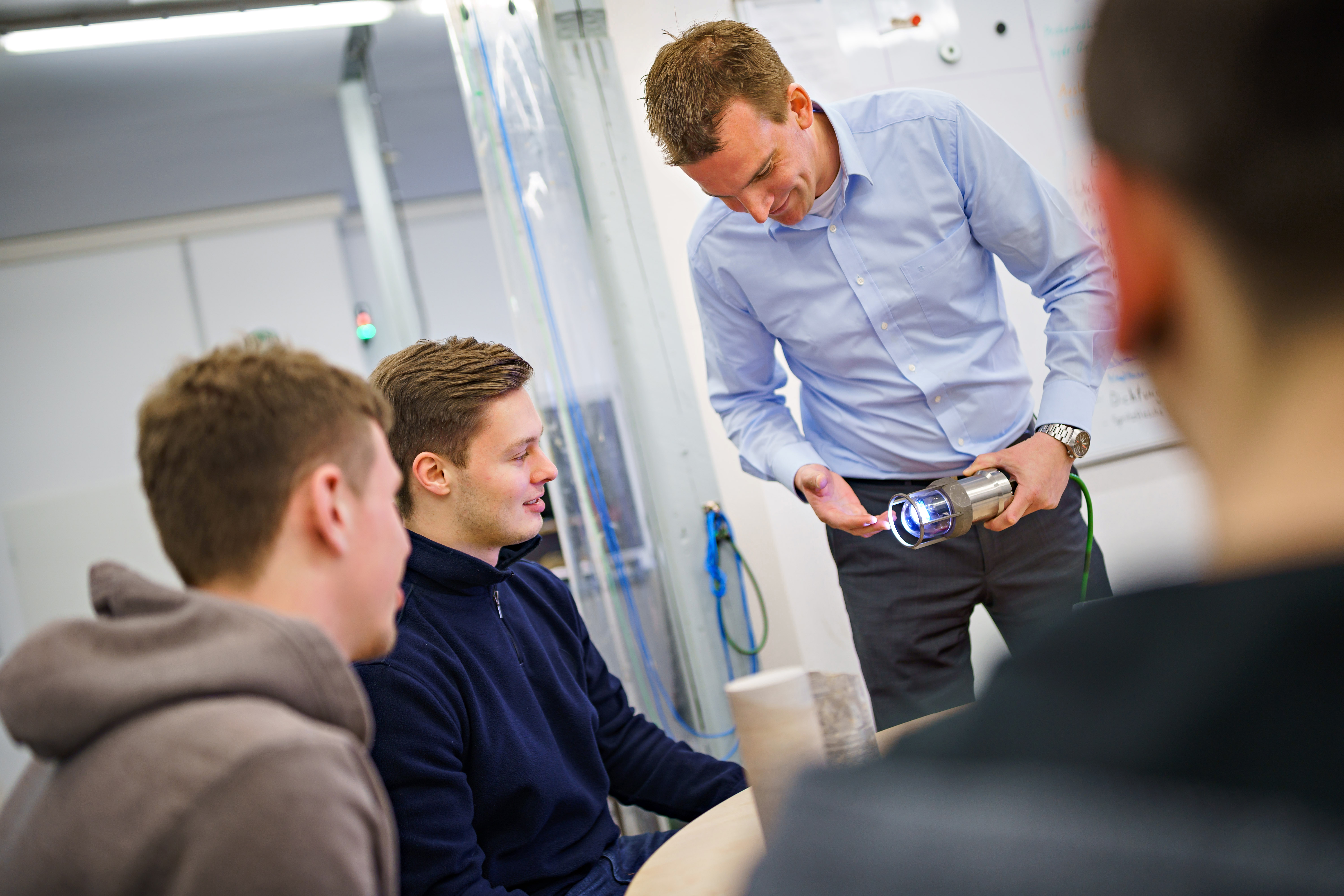
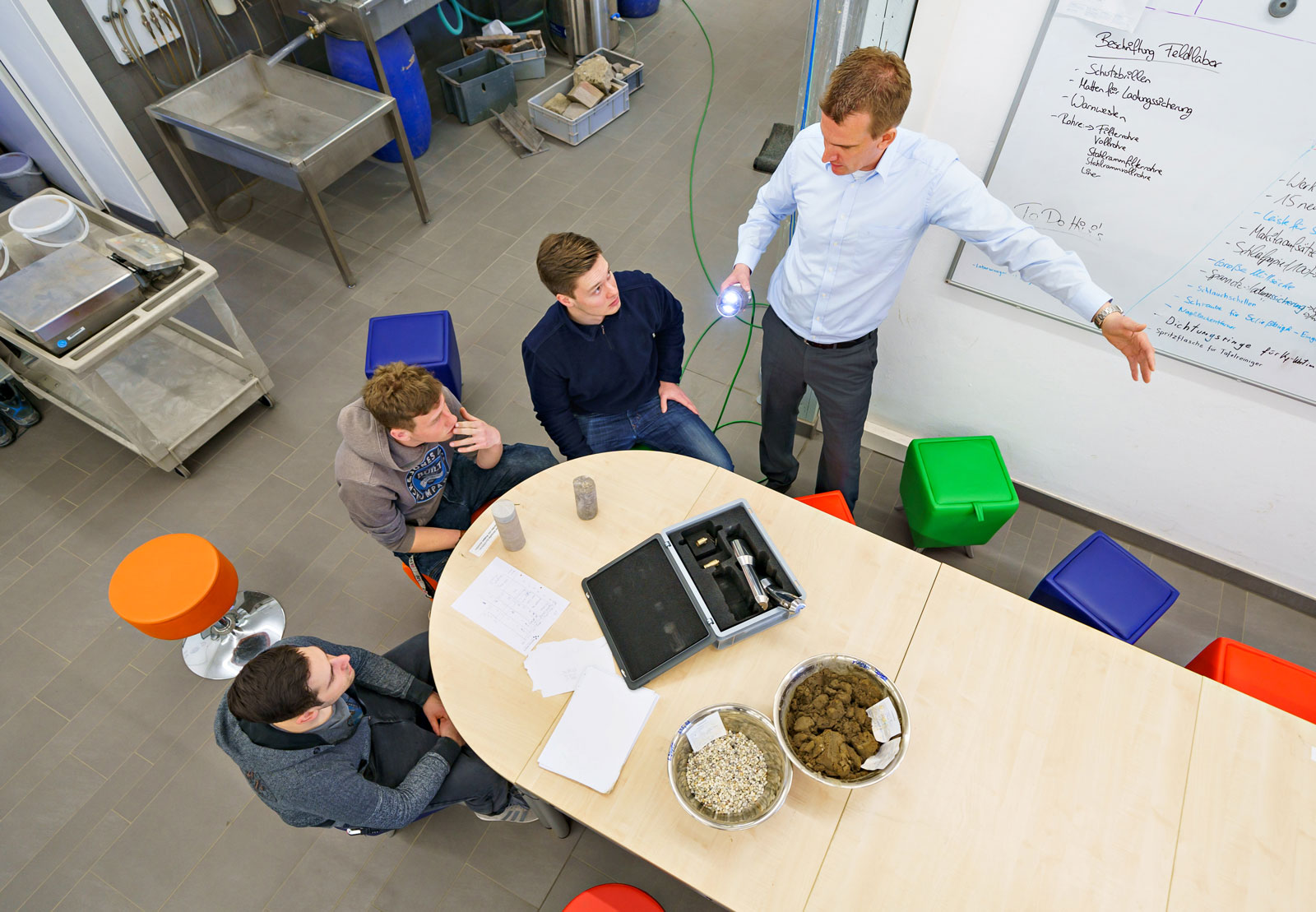
Prof. Dr. Tobias Rudolph: As a specialist in post-mining, I combine the past with the present and the future. Geo-monitoring is a discipline for people with an appreciation of the latest technology. On the one hand, I use historical mining records, while on the other, I also apply cutting-edge sensor technology, deep-sea probes technology and self-repairing cables, and now artificial intelligence as well, in order to transfer the data of the past into the future. Geo-monitoring is literally a border activity. I am something of a frontiers man, someone who operates along boundaries and well as on both sides of them
Vita – Prof. Dr. Tobias Rudolph
Prof. Dr. Tobias Rudolph has been the incumbent of the endowed Chair for Geo-monitoring in Post-mining at the THGA since April 2019. Aided by data collected under, on and above the Earth, his work includes modelling 3D images of geological deposit formations. These models make it easier to understand the on-site situation, and to improve the management of risks in the Ruhr Area.