Bodenbewegungsmodell.Ruhr (BM.Ruhr)
Ground movement Ruhr: Distinguishing between mine water-induced and natural ground movements in the Ruhr region
A central challenge during and after the end of hard-coal mining is the rise of mine-water levels. This can trigger ground movement and especially uplift and interacts with external climate-driven variability: altered precipitation, fluctuating groundwater, changing soil moisture and flood risk in polder areas. These overlapping drivers make it difficult to attribute observed ground movement to the correct cause. The rising mine-water levels may alter the ground movement in the future.
All factors impact both landscapes and infrastructure. The extent, severity, and everyday nature of ground movements are often poorly understood by affected stakeholders, requiring clear, evidence-based communication Knowledge gaps can lead to decisions that delay or even prevent appropriate mine-water management.
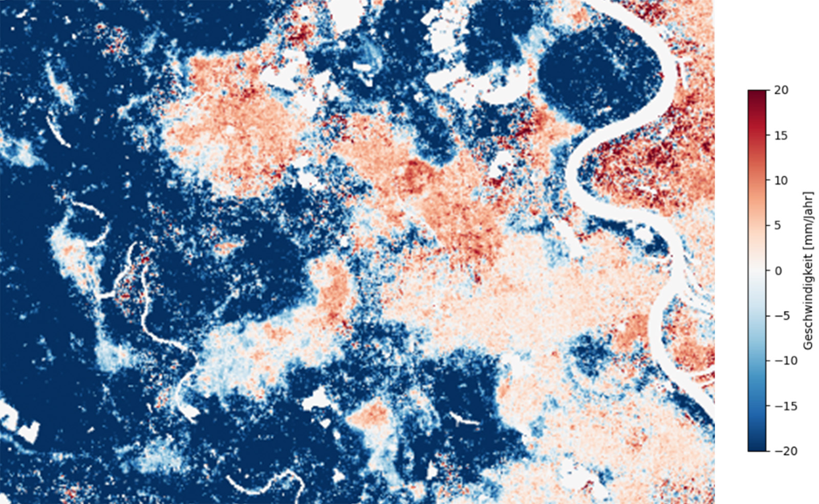
Example of Average Velocity map (2020-2024) around Rheinberg area product from interferograms. Source: Based on Sentinel-1 data
The project “Bodenbewegungsmodell.Ruhr (BM.Ruhr) – Ground movement Ruhr” responds with a clear objective: to differentiate mine-water-induced ground movements from natural ground movements and provide a ready to use evidence for authorities and stakeholders. The project will identify key influencing factors from primarily public geodata and selected in-situ observations, and derives variables that can overlap, reinforce, or cancel each other to support a clearly attribution of the mining or not mining induce events.
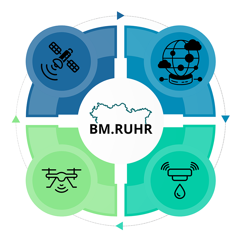
BM.Ruhr implements an operational workflow that fuses remote sensing time series techniques, change-point detection, hydro-geological context, and targeted field checks to produce decision-ready products and a digital assessment map with uncertainty and provenance. These outputs support planning, approvals, and can feed multi-criteria decision analysis.
It is planned that BM.Ruhr will demonstrate and refine this approach in three pilot areas with recent mine-water events—Southern Rheinberg, Southern Essen, and Hamm–Bergkamen building a method designed to scale to the wider Ruhr area.
Project objectives
- Define pilot areas data inventory. Set up the collaboration and secure access to all required public and partner geodata/services for the three pilot areas (Southern Rheinberg, Southern Essen, Hamm–Bergkamen).
- Develop a transferable workflow (combining e.g. remote sensing data, change-point detection, hydro-geological context, selective field checks) to separate mine water induced motion from natural drivers at Ruhr sites.
- Provide a reproducible and scalable outputs to support planning, approvals, and maintenance efforts enabling faster, more consistent decisions across municipalities.
- Execute a dedicated transfer of results through guidance and communication of the workflows and outputs results to encourage research, reproducibility and addition to monitoring plans of municipalities.
Project duration
1. Oktober 2025 – 30. September 2028
Project funding
The project Bewegungsmodell.Ruhr (BM.Ruhr) is funded by the RAG Foundation. Project reference number: 25-0068
Contact
Prof. Dr. Tobias Rudolph
Technische Hochschule Georg Agricola University
Herner Street 45
44787 Bochum
Building 2, Room 101
Phone 0234 968 3682
Mail tobias.rudolph@thga.de
Vinicius Inojosa, M.Sc.
Technische Hochschule Georg Agricola University
Herner Street 45
44787 Bochum
Building 2, room 106
Phone 0234 968 3286
Mail vinicius.inojosa@thga.de
Max Kersten, B.Sc.
Technische Hochschule Georg Agricola University
Herner Street 45
44787 Bochum
Gebäude 2, Raum 105
Phone 0234 968 3980
Mail max.kersten@thga.de
Mathis Alders, B.Sc.
Technische Hochschule Georg Agricola University
Herner Street 45
44787 Bochum
Gebäude 2, Raum 105
Phone 0234 968 3806
Mail mathis.alders@thga.de