NAMIB
Geospatial monitoring of urban infrastructure using the example of the U35 subway in Bochum
In the context of post-mining processes, it is important to gain integrated knowledge about the deposit, the overburden, the cover layers, and the surface in order to be able to verify the long-term integrity of municipal structures or municipal infrastructure. In the NAMIB (Post-mining and Old Mining Monitoring of Infrastructure in the City of Bochum) research collaboration, experts from the Research Center of Post-Mining are investigating the route of the U35 subway between Bochum and Herne as an example. The project will run until December 2021 and is being carried out in close cooperation with the civil engineering office of the city of Bochum, which is also the client.
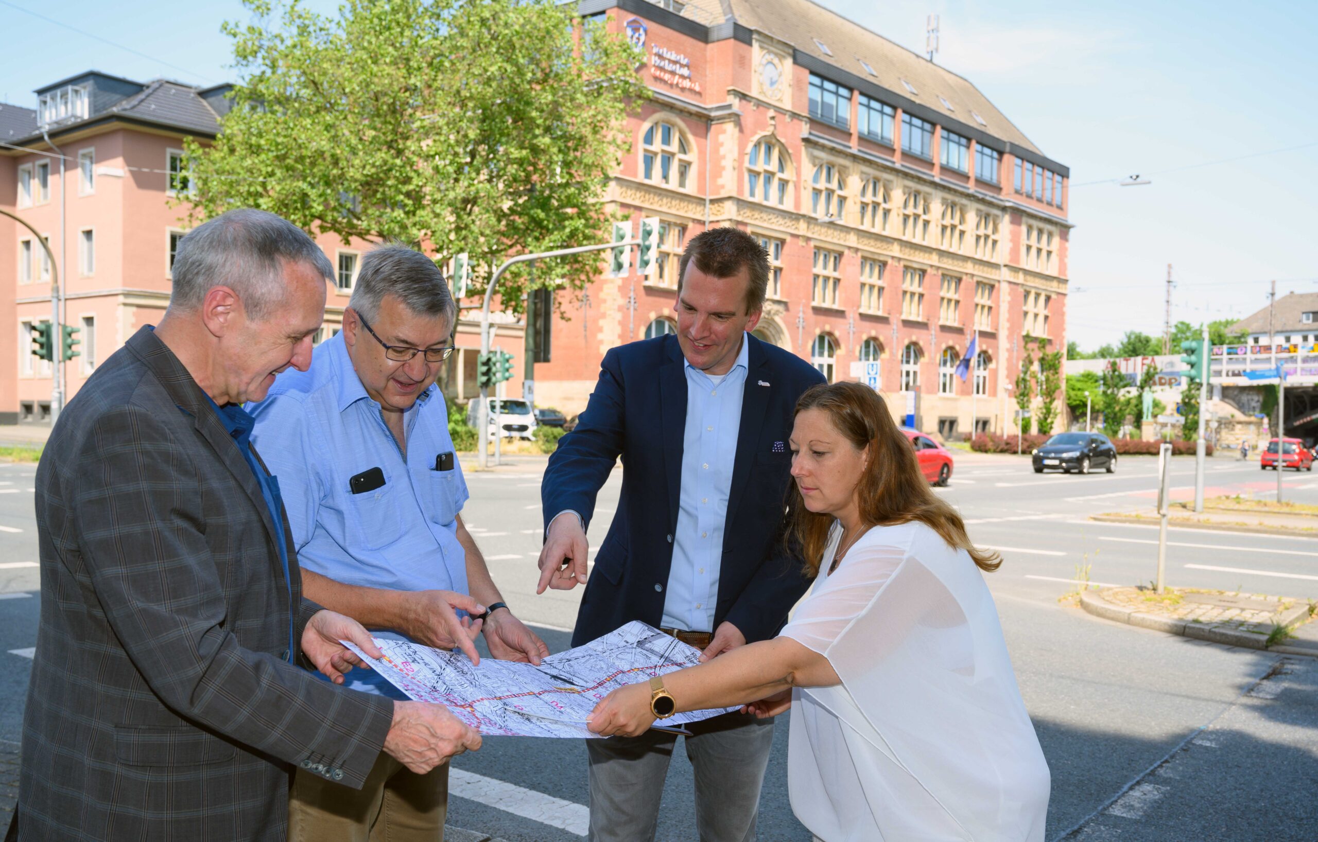
Together with the civil engineering office of the city of Bochum, the Research Center of Post-Mining is examining the mining impacts on the infrastructure of the U35 light rail line (from left to right). © André Grabowski, City Bochum
Due to intensive and widespread coal mining, the subway route has particular potential in terms of old and post-mining structures. In order to verify the integrity of the route, potential risk elements in the study area are transferred to a classification system which, for the first time, follows a comprehensive and fully digital approach based on the evaluation of historical and modern data sets in combination with terrain documentation. The available data sources are integrated using the ArcGIS Pro geoinformation system. The result is a risk classification map for the entire route of the U35 subway to visualize the underground (hydro)geological and post-mining conditions.
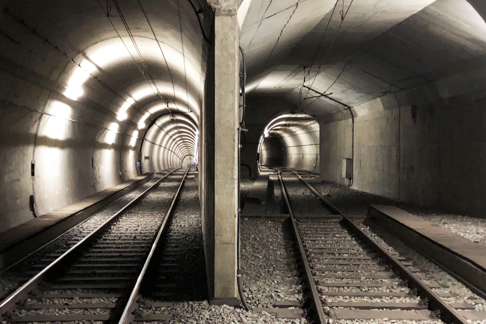
© Prof. Dr. Tobias Rudolph
Through the integrated use of the fourth dimension (space and time), statements are being developed for future post-mining monitoring and municipal risk management programs for the analyzed areas of the U35 subway.
In future, the findings and measurement methods are also to be transferred to other urban infrastructures and to other municipalities in post-mining regions.
Project objectives
- Verification of the long-term integrity of municipal infrastructure through the application of an integrated spatiotemporal approach
- Development of a classification system as the basis for an integrated risk management system
Contact

Prof. Dr. Tobias Rudolph
Technische Hochschule Georg Agricola University
Herner Street 45
44787 Bochum
Building 2, Room 101
Phone 0234 968 3682
Mail tobias.rudolph@thga.de

Prof. Dr. Peter Goerke-Mallet
Technische Hochschule Georg Agricola University
Herner Street 45
44787 Bochum
Building 2, room 206
Phone 0234 968 3289
Mail peter.goerke-mallet@thga.de