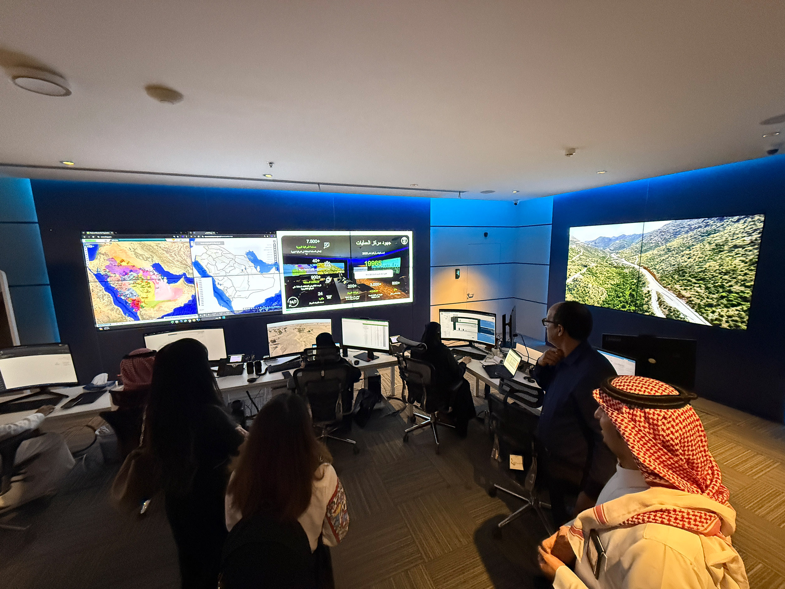
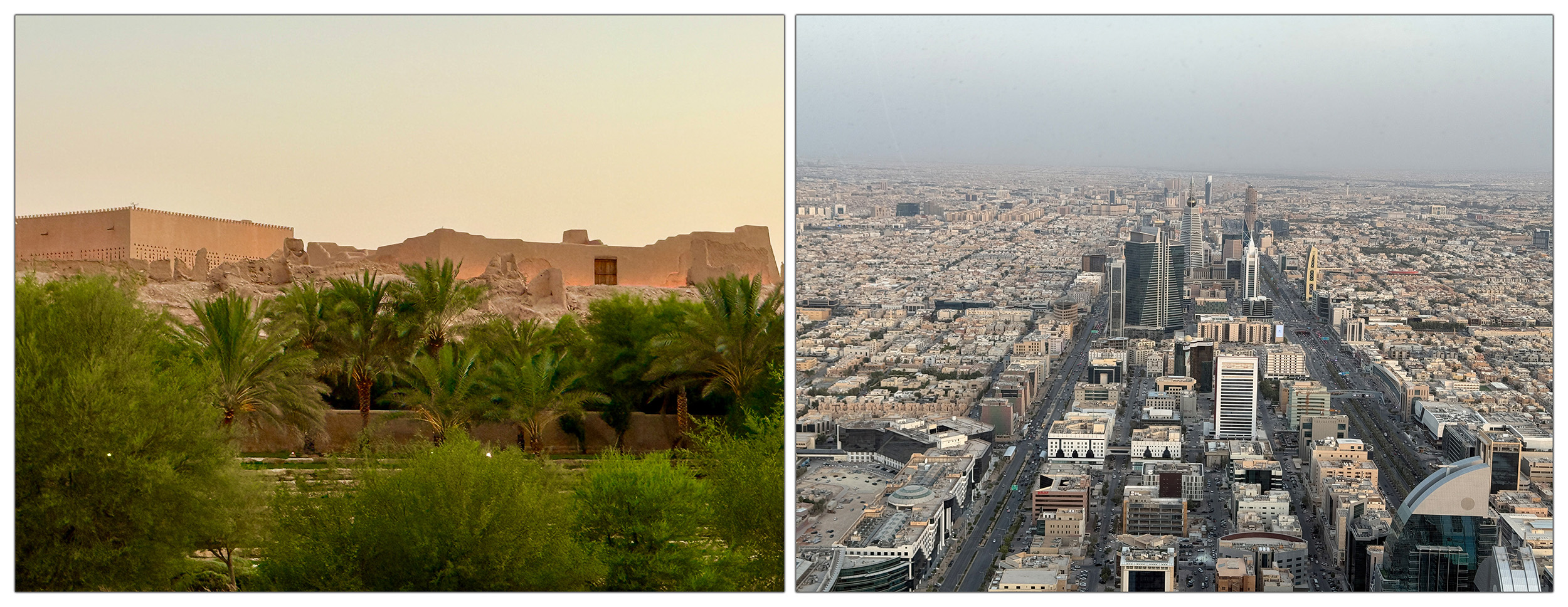
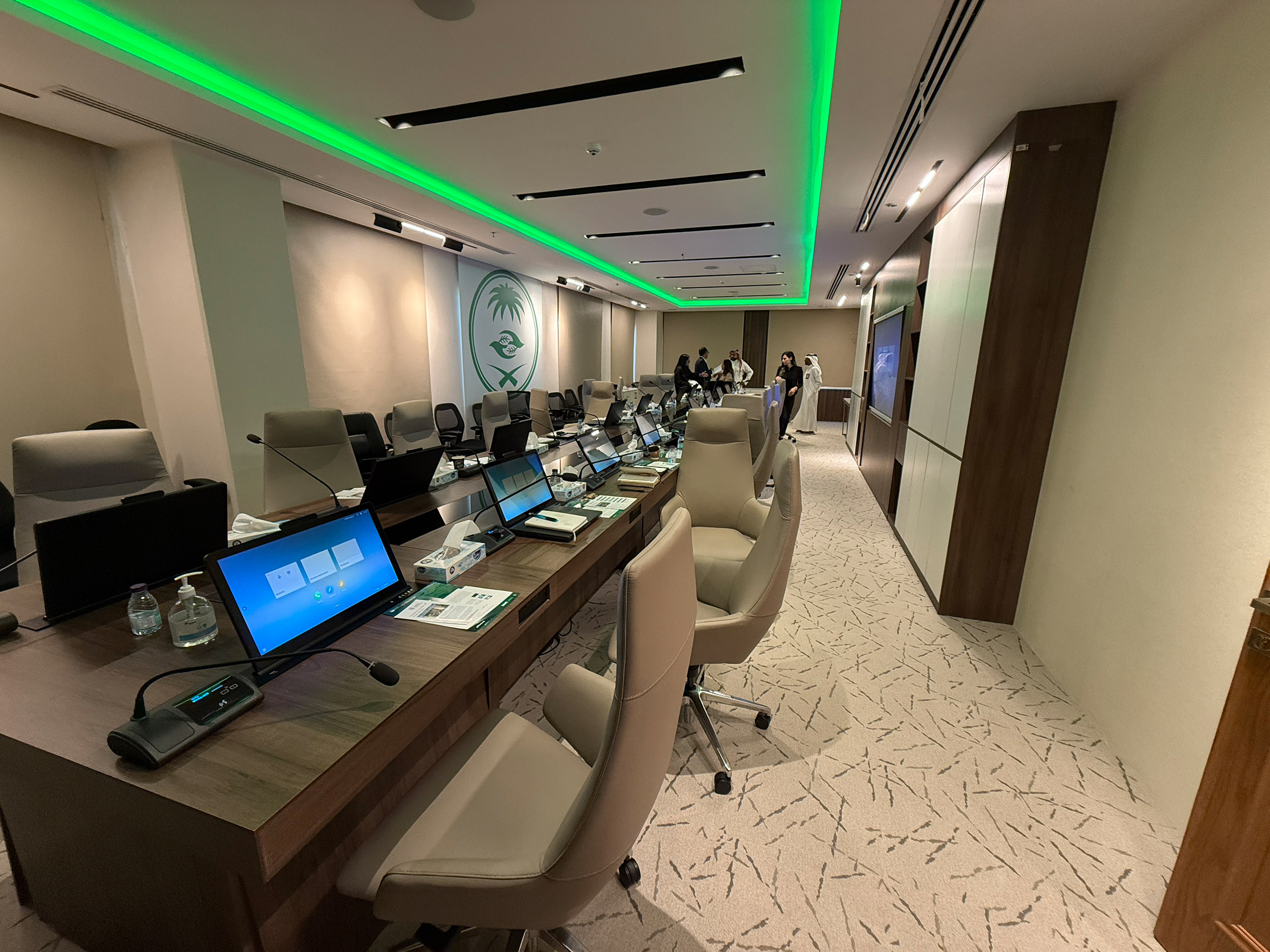
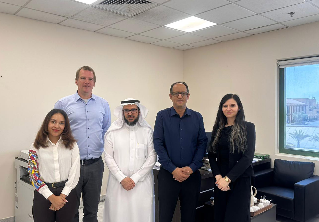
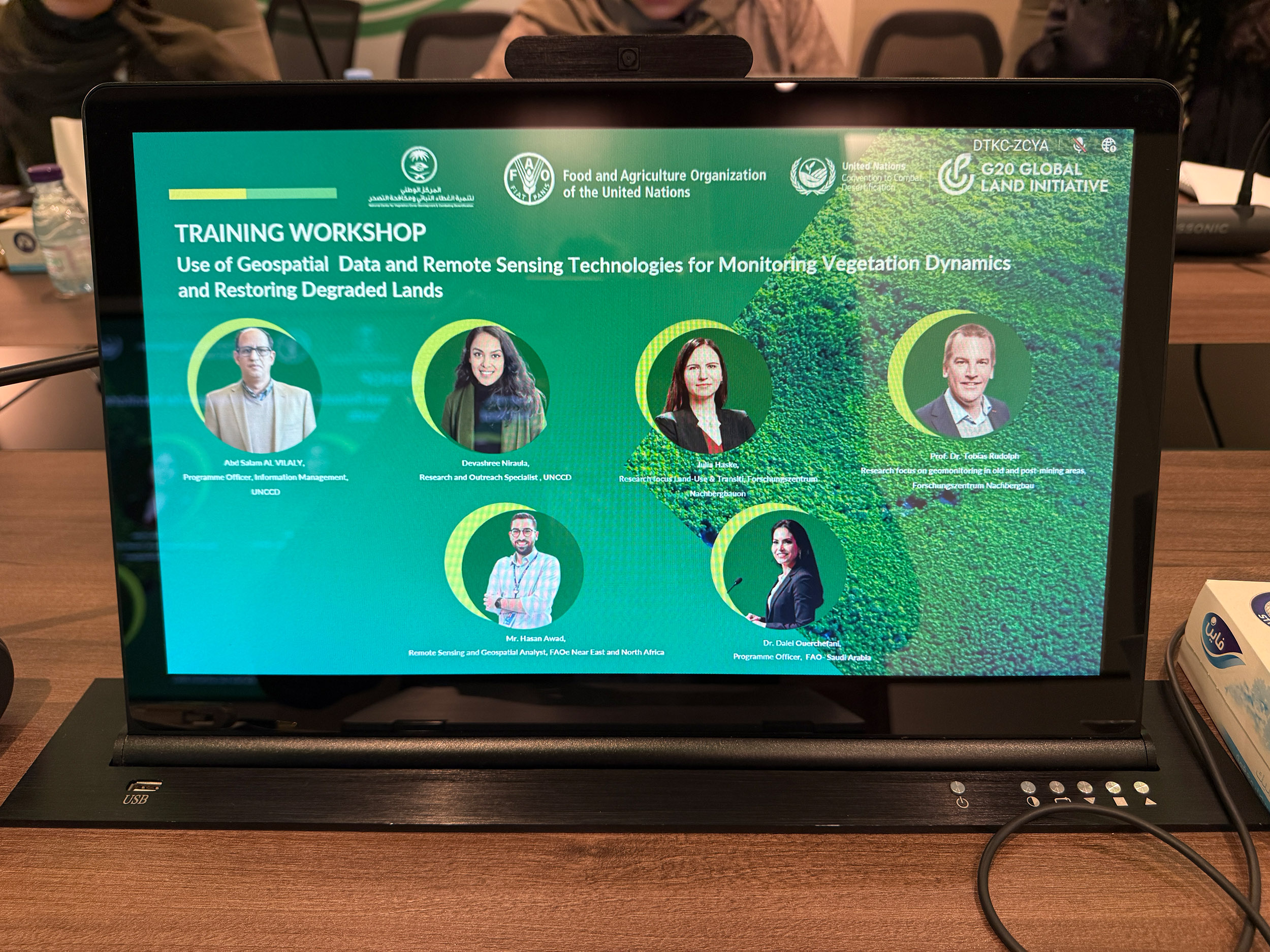
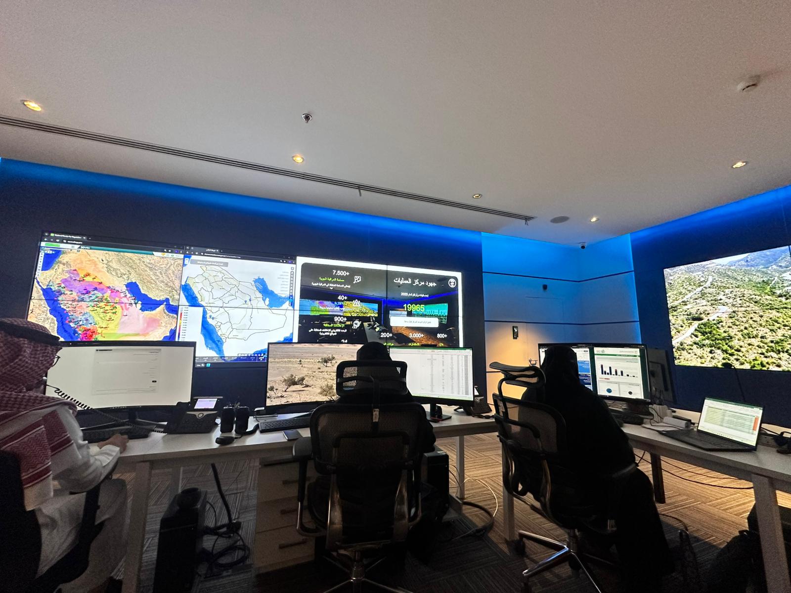
On the joint initiative of the G20 Global Land Initiative (GLI), the United Nations Convention to Combat Desertification (UNCCD) the National Center for Vegetation Cover Development and Combating Desertification (NCVC) and the Food and Agriculture Organization of the United Nations (FAO) the workshop “Use of Geospatial Data and Remote Sensing Technologies for Monitoring Vegetation Dynamics and Restoring Degraded Lands” took place from 21 to 24 July 2025 in Riyadh, Saudi Arabia. Prof. Dr. Tobias Rudolph and Julia Haske from the FZN participated in the workshop. The primary goal of the workshop was to advise the Saudi Arabian government on the development of integrated concepts for monitoring land degradation processes.
While Prof. Dr. Tobias Rudolph shared his knowledge of geomonitoring and practical experience, as well as technological possibilities for monitoring concepts, Julia Haske presented her focus area of “Land Use & Transition” (e.g., experiences with transformation processes and their support by stakeholders and politicians, changes in land use, and paths to regenerative landscapes).
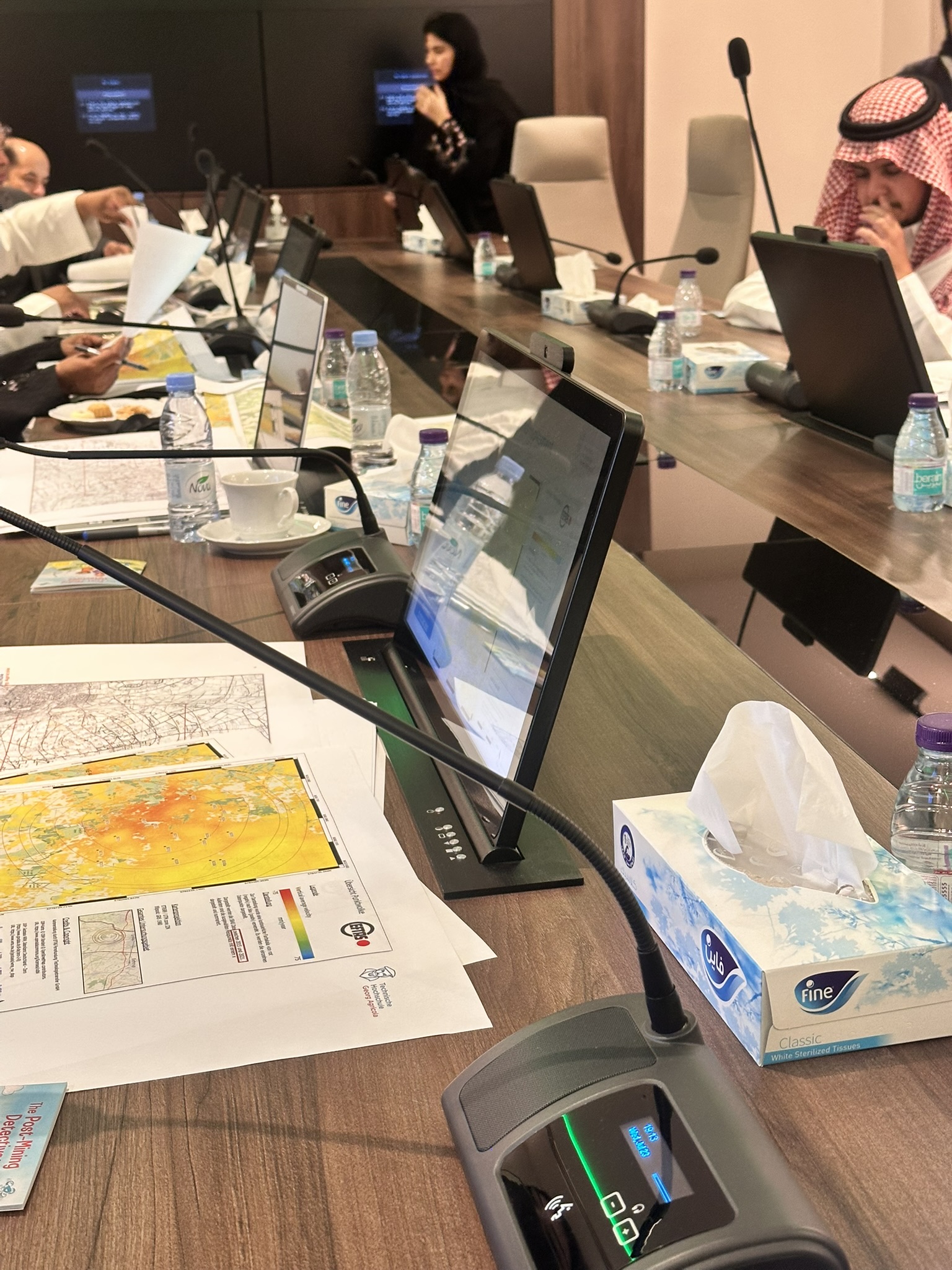
In the workshop with around 20 international experts, Prof. Tobias Rudolph presented the scientific methods and experiences of the FZN in the field of remote sensing. Particular attention was paid to the observation of degraded land and “land in transition,” which means land areas that are undergoing change. The FZN’s expertise in monitoring mining regions proved to be particularly valuable here. Combating desertification, monitoring desert expansion, and biodiversity mapping were all highly relevant topics during the visit to Saudi Arabia – issues that are of global urgency, especially in times of climate change and species extinction.
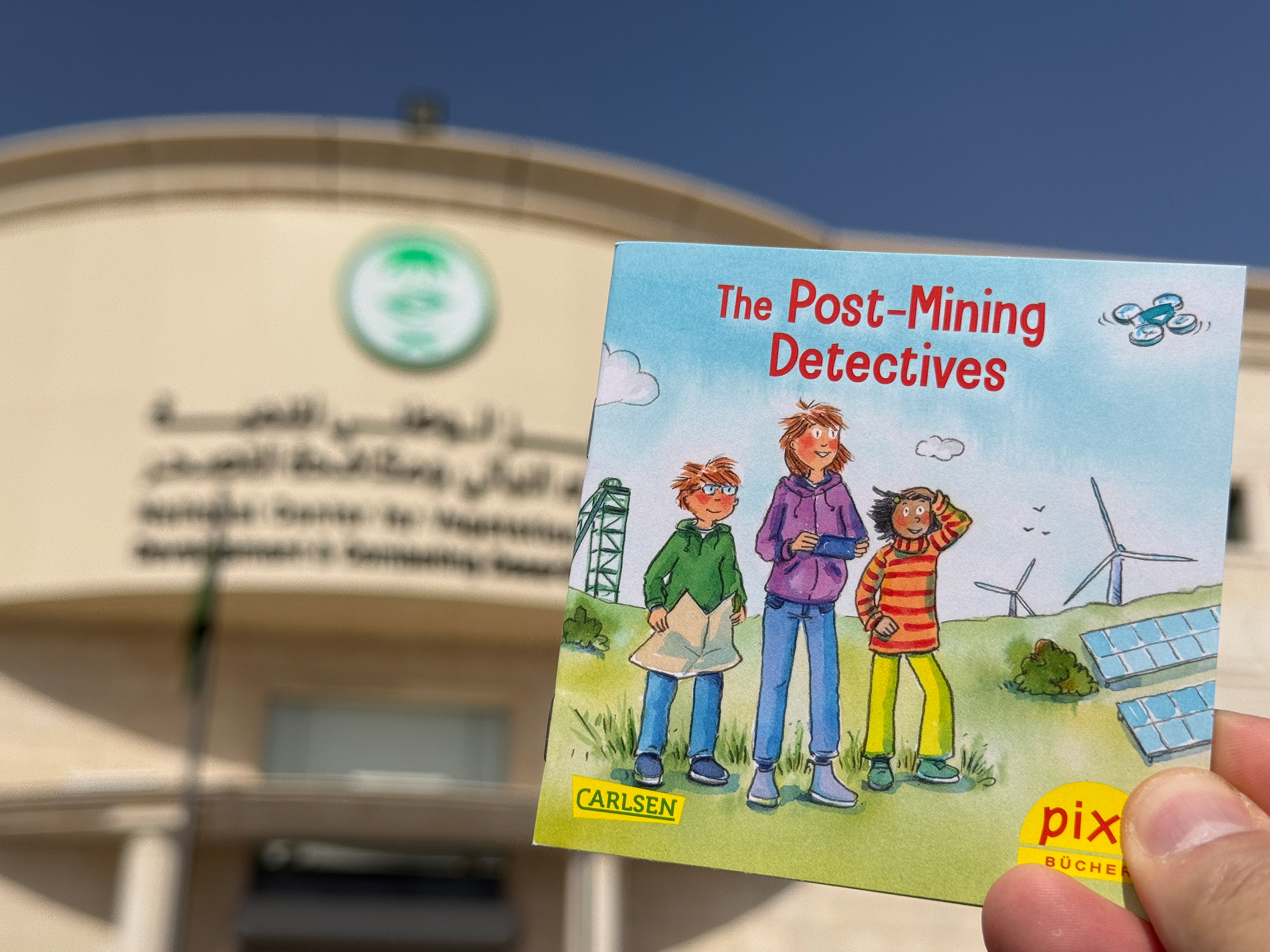
The extent to which the FZN's expertise in environmental monitoring can serve as a model was also demonstrated by the Monitoring.Epe project, which Prof. Dr. Tobias Rudolph presented as a key example. Methods used in the project, which are being applied thousands of kilometers away from the Arabian Peninsula in North Rhine-Westphalia, can thus be of great practical use in numerous countries affected by desertification or desert expansion.


Huge interest in monitoring concept for environmental monitoring from North Rhine-Westphalia
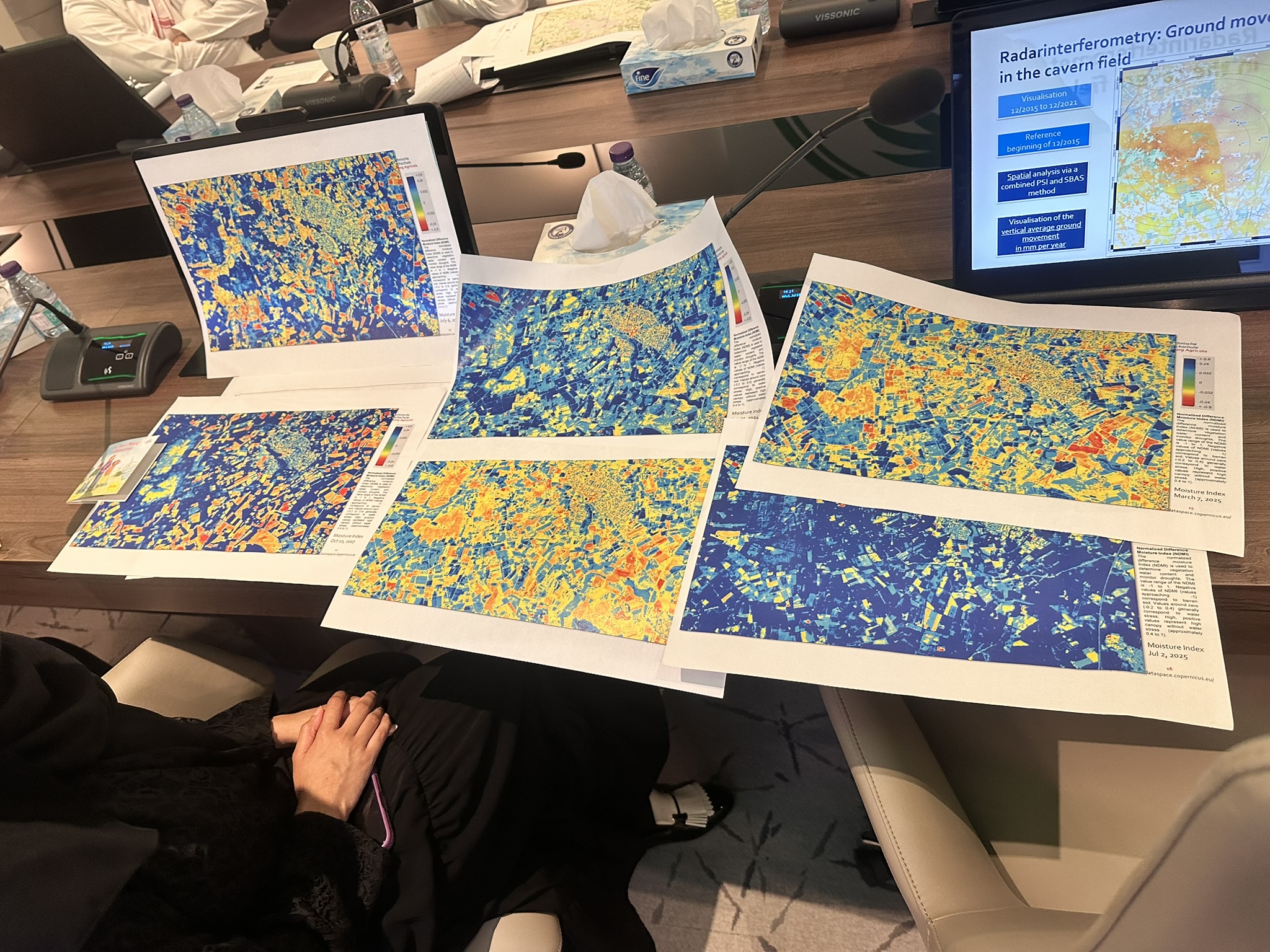
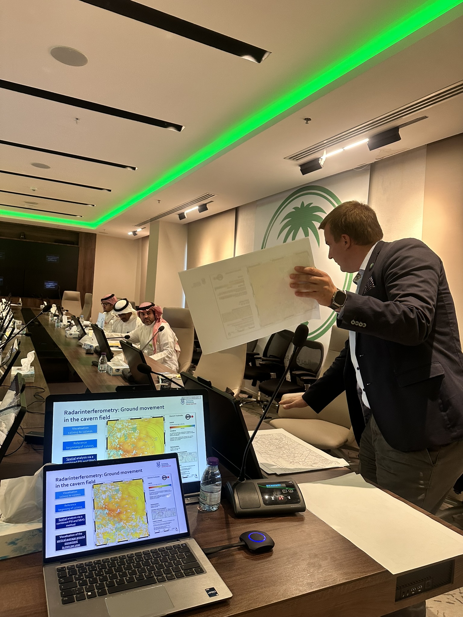
In Epe (North Rhine-Westphalia), the FZN is working on a comprehensive monitoring concept for underground gas storage facilities. This involves combining radar satellite data with scientific ground observations in order to detect even the smallest changes at an early stage. This multi-method approach allows open geodata to be integrated in a meaningful way and fact-based statements to be made about potential hazards. This monitoring management system using open geodata can also be applied to other areas, such as desert monitoring.
The participatory approach of Monitoring.Epe also generated considerable interest among workshop participants. The collaboration with Euregio-Gesamtschule Epe and the development of the app "Umweltkumpel"("environmental buddy") are opening up new avenues for citizen participation in environmental monitoring. This combination of scientific precision and social participation was particularly well received by the Saudi partners.
The FZN would like to express its gratitude for the open exchange and is delighted about the international interest. The visit to Riyadh provided valuable insights and laid the foundation for possible future collaborations, as Julia Haske and Prof. Dr. Tobias Rudolph emphasize in their positive conclusion to the workshop.
The subject areas
Topics (Prof. Dr.Tobias Rudolph)
- Introduction to applied remote-sensing: Basic Introduction Vegetation Monitoring, Basic Introduction Radar Monitoring Application in geo-resources
- Innovations in multi-Risk management in spatial applications
- Interplay of soil, water and vegetation, Current requirements in legal obligations, Integration in professional education and upskilling of experts
- Saudi relevance with local applications
- Innovative application from a degraded region (German example)
- The power of radar remote sensing, from ground motion to soil humidity
- Challenges to differentiate the influencing factors of ground motion\ Integration of public participation and crowd-science
- Past, present and future application on ground movement and the influence on the surface
- Interplay of soils and water and Implications to the hydraulic situation
Topics (Julia Haske)
- Before – After: Land use change examples
- Pathways from extractive to regenerative landscapes
- Stakeholder engagement: Ministries, Municipalities, Local Communities
- Group Mapping Exercise using a fictional degraded site
- Teams define land use allocations
- Identify policy instruments and governance gaps