It is currently not known exactly how many abandoned and/or flooded mines exist in Europe or even worldwide. Estimates range from around 5,000 to more than 30,000 mines in Europe alone. As a GIS-based scientific database, the Mine Water Map serves as an open information source on abandoned mines and mine water rebound. It was developed as part of the project “Internetportal Grubenflutungen,” funded by the Forum Bergbau und Wasser in order to systematically collect and make accessible information on mines, their geology, hydrogeology, and mine water. An important methodological component is the extensive research, harmonisation, and digitisation of data from literature, maps, websites, existing databases, and other sources.
With our “Mine Water Map,” we are providing you with free access to the world’s largest compilation of data on mine water from active and abandoned mines. You can use this global, growing database, and you can also contribute to the map’s further development by submitting your own information.
You are currently viewing placeholder content from Arcgis. To access the actual content, click the button below. Please note that this will result in data being shared with third parties.
Further informationGLOBAL MAPPING
PARTICIPATION
ZOOM INTO DETAILS
MINE WATER ANALYSIS
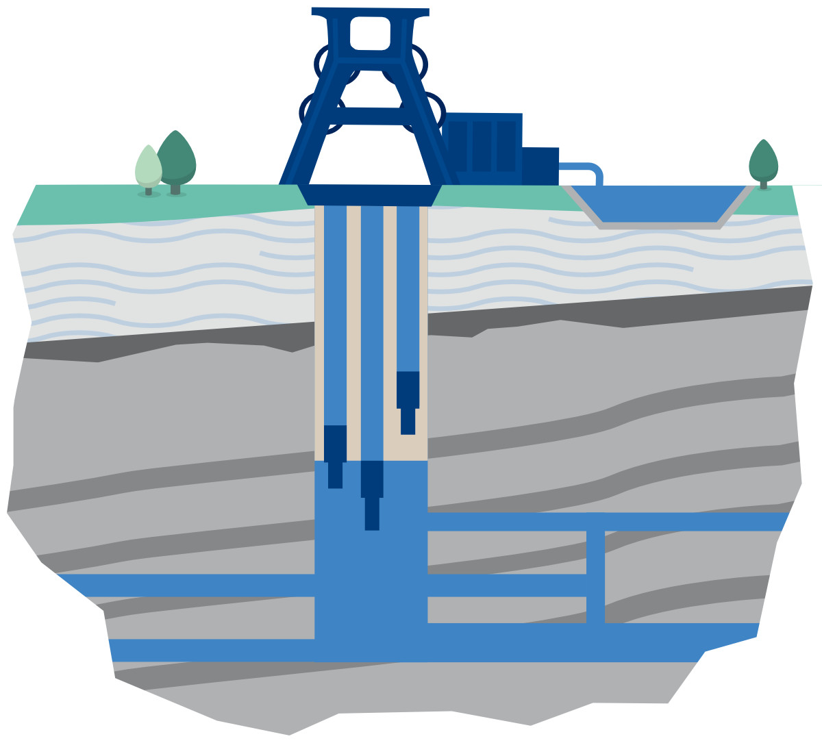
A particular focus lies on the processing of mine water rebound curves and geological cross-sections so that they become standardised, georeferenced, and scientifically usable. As of June 2026, the Mine Water Map includes around 11,000 mines in Europe, following the merger of the original database with the UNEXMIN database.
We are pleased to make these data available to you. You are warmly invited to contribute to the growth of this valuable data resource via the contact form by sending us your own comments and data, which will be reviewed and added to the map where appropriate.
Note: The information and data presented on the publicly accessible Mine Water Map web platform have been compiled with the greatest possible care. Nevertheless, we cannot guarantee the accuracy, completeness, timeliness, or suitability of the content provided. The information shown is intended solely for general informational purposes and does not replace a site-specific professional assessment in individual cases. If you notice any inconsistencies, errors, or information that should be supplemented, we would be happy to review them and discuss them further with you. Please use the contact form below for this purpose.
We would like to thank the Forum Bergbau und Wasser for its project funding supporting the development and revision of the Mine Water Map.
Database provided by UNEXMIN
This project has received funding from the European Union’s Horizon H2020 research and innovation programme under grant agreement No 690008.
Send us your information!
Did you find any errors on the map? Would you like to add information? Please feel free to share this information with us using the form below. If you have any questions, please contact minewatermap@thga.de and we will get back to you.

