Many European partners from industry and science are working together in the “TRIM4Post-Mining” project. The common goal: an integrated planning tool for the transition from coal extraction to intelligent reuse.
Wie wird aus einer ehemaligen Bergbaufläche eine wiederbelebte Landschaft? Was muss passieren, damit die Areale neu genutzt werden können? Um solche Szenarien in Zukunft umfassend simulieren zu können, startet jetzt das neue Projekt „TRIM4Post-Mining“, an dem auch das Forschungszentrum Nachbergbau der THGA beteiligt ist: Europäische Experten aus Industrie und Forschung, entwickeln gemeinsam ein integriertes Informationsmodellierungssystem, mit dem sich der Abschied von der Kohle virtuell planen lässt – vom aktiven Abbau bis hin zur Nachnutzung der stillgelegten Bergbaufläche. Dies soll auch dazu beitragen, dass wertvolle Materialien aus alten Halden der Braun- und Steinkohleindustrie zurückzugewinnen werden können. Die Wissenschaftlerinnen und Wissenschaftler des Forschungszentrums Nachbergbau arbeiten hier eng zusammen mit der TU Freiberg, der TU Delft sowie den Unternehmen Beak Consultants, MIBRAG, SPECTRAL Industries und Eijkelkamp SonicsSampDrill. Das Projekt ist Teil des EU-finanzierten Research Fund Coal and Steel (RCFS).
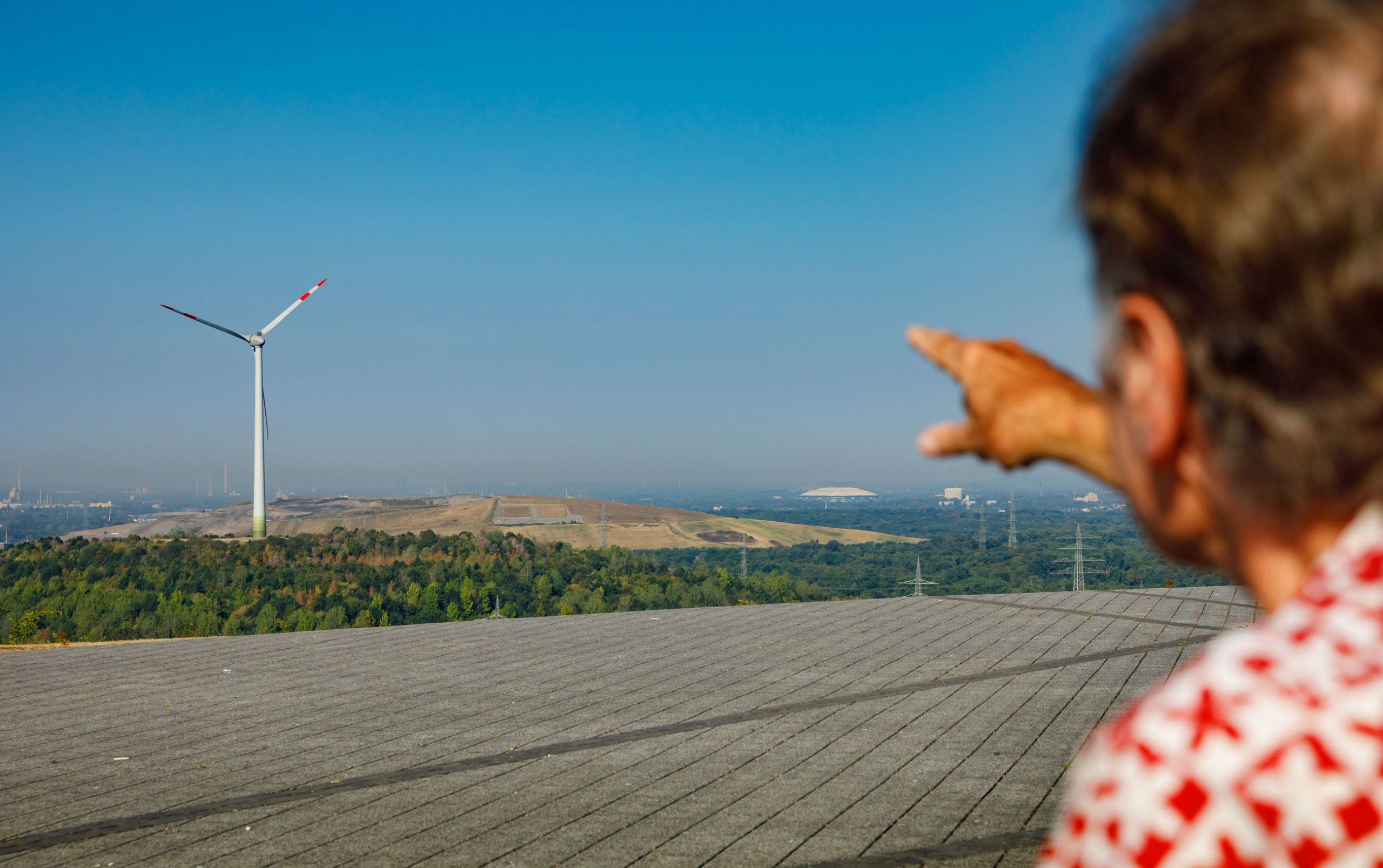
How can a former mining landscape be reused? The scientists want to simulate this in the EU project “TRIM4Post-Mining”. (Photo: THGA / Volker Wiciok)
Even virtual and augmented reality are used, explains Dr. Stefan Möllerherm from the Research Center: “First we have to feed our planned database with a lot of information. Modern surveillance systems such as satellites, high-resolution drone images or multi-sensors help us with this." At the end there is an interactive TRIM, the "Transition Information Modeling System", which enables us to make detailed predictions and derive risk management from them", hopes Dr. Möllerherm.
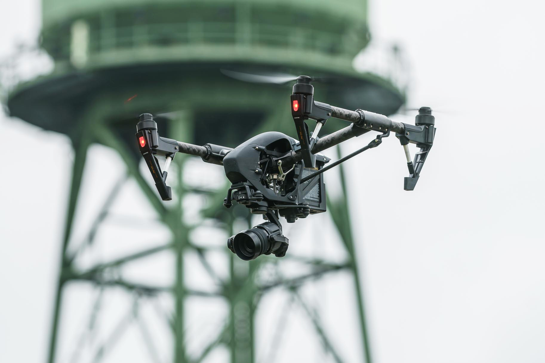
For a holistic picture the scientists combine satellite images, multispectral drone images and geo-sensors in an integrated manner. (© THGA/Volker Wiciok)
Not only the technical effects of post-mining can be simulated in this way, the planning system should also be able to individually check the social and ecological feasibility later. In this way, areas can also be identified that need to be particularly renovated or monitored over the long term. "There are many requirements, especially when the old areas shall be used for agricultural purposes, for local recreation or for the industry," says Dr. Möllerherm. With "TRIM4Post-Mining", the post-mining experts want to make the comprehensive planning processes and testing procedures much easier.

This project has received funding from the Research Fund for Coal and Steel under grant agreement No 899278.
More information:
Contact

Dr. Stefan Möllerherm
Technische Hochschule
Georg Agricola University
Herner Straße 45
44787 Bochum
Building 2, room 210
Phone 0234 968 327268 3272
Mail stefan.moellerherm@thga.de